
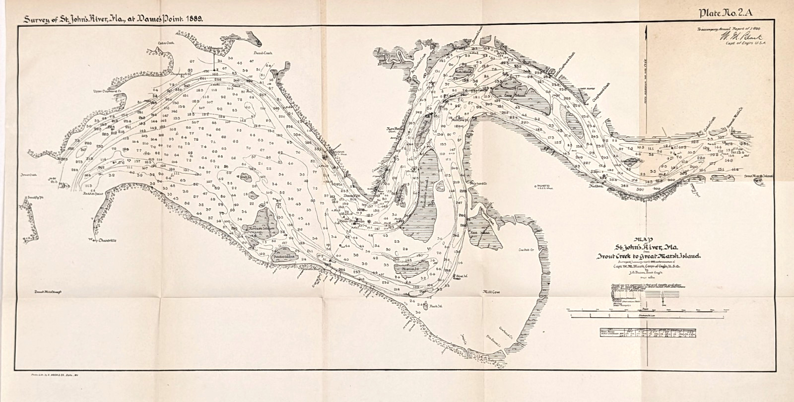
1890 ST JOHN'S River - FLORIDA Map ORIGINAL Trout Creek to Great Marsh Island For Sale
 When you click on links to various merchants on this site and make a purchase, this can result in this site earning a commission. Affiliate programs and affiliations include, but are not limited to, the eBay Partner Network.

1890 ST JOHN'S River - FLORIDA Map ORIGINAL Trout Creek to Great Marsh Island:
$48.00
This product is an original 1890 antique map of part of St John's River, Duval County Florida published by the U.S. Chief of Engineers and measures 21.5x10 inches. Rare and very detailed survey map of the St John's River extending from Trout Creek at left to Great Marsh Island at right with soundings, Mill Cove, feeder creek and Islands. Perfect for collectors and enthusiasts of antique maps, this map is a valuable piece of North American cartographic history. Good condition, discoloration, creases as issued

Blog Posts
- Day Trippin' to Southern Colorado Backcountry Streams
Despite flirting with the Big River earlier this summer when I think about fishing in Southern Colorado, I think about backcountry small streams... - Baja Adventures
Aloha, had a great time down in Baja. Some are saying the sun is setting on the fishing in baja... - Back in Southern Colorado
For more than 45 of my 60+ years, I have spent part of my summer in the Southern Rockies... - Why We Fish
In science, some concepts and ideas are so complex or abstract that they defy definition. In order to proceed and communicate...