
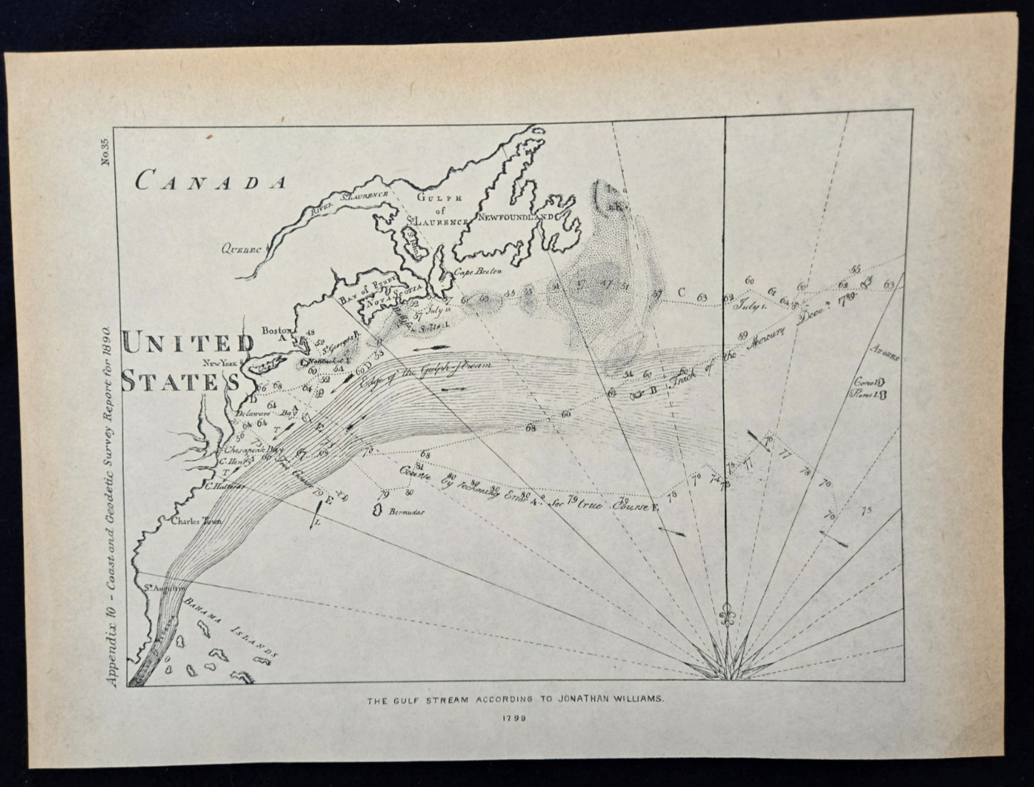
1890 Antique Map Gulf Stream Jonathan Williams 1799 US Coast Survey No 35 For Sale
 When you click on links to various merchants on this site and make a purchase, this can result in this site earning a commission. Affiliate programs and affiliations include, but are not limited to, the eBay Partner Network.

1890 Antique Map Gulf Stream Jonathan Williams 1799 US Coast Survey No 35:
$24.99
1890 Antique Map Gulf Stream Jonathan Williams 1799 US Coast Survey No 35This is an authentic, original antique map plate extracted from the 1890 United States Coast and Geodetic Survey Report. The plate features an important 19th-century survey reproduction of Jonathan Williams’ landmark 1799 chart tracking the Gulf Stream from his historical work on "Thermometrical Navigation." The map depicts the entire eastern seaboard of the United States (stretching from Florida and the Bahamas up through the Chesapeake, New York, and Boston) and Canada (including Nova Scotia and Newfoundland). It illustrates early shipping tracks, magnetic courses, and the flow coordinates of the Atlantic current.It measures 9" by 11".
Blog Posts
- Day Trippin' to Southern Colorado Backcountry Streams
Despite flirting with the Big River earlier this summer when I think about fishing in Southern Colorado, I think about backcountry small streams... - Baja Adventures
Aloha, had a great time down in Baja. Some are saying the sun is setting on the fishing in baja... - Back in Southern Colorado
For more than 45 of my 60+ years, I have spent part of my summer in the Southern Rockies... - Why We Fish
In science, some concepts and ideas are so complex or abstract that they defy definition. In order to proceed and communicate...