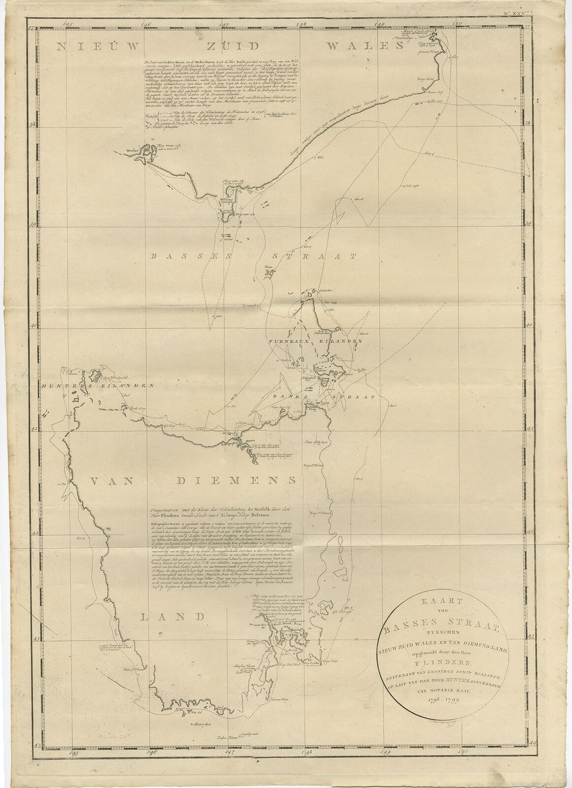
Antique Map of Bass Strait by Cook (1803) For Sale
 When you click on links to various merchants on this site and make a purchase, this can result in this site earning a commission. Affiliate programs and affiliations include, but are not limited to, the eBay Partner Network.
Antique Map of Bass Strait by Cook (1803):
$4236.81
See our ratings Add this shop to my favorites
Antique Map of Bass Strait by Cook (1803)
$ 4,236.81 instead of $ 4,236.81 (promotion of 0%)
Availability: in stock
Condition : Very good, general age-related toning. Please study image carefully.
Date : 1803
Overall size : 53 x 74 cm.
Image size : 48 x 70 cm.
Description: Antique map Australia titled 'Kaart van Basses Straat tusschen Nieuw Zuid Wales en van Diemensland (..)'. Large chart of Bass Strait and one of the earliest to show the discoveries made by Bass and Flinders. Originates from 'Reizen Rondom de Waereld door James Cook (..)'.
Artists and Engravers: Translated by J.D. Pasteur. Published by Honkoop, Allart en Van Cleef.

![]()
Blog Posts
- Day Trippin' to Southern Colorado Backcountry Streams
Despite flirting with the Big River earlier this summer when I think about fishing in Southern Colorado, I think about backcountry small streams... - Baja Adventures
Aloha, had a great time down in Baja. Some are saying the sun is setting on the fishing in baja... - Back in Southern Colorado
For more than 45 of my 60+ years, I have spent part of my summer in the Southern Rockies... - Why We Fish
In science, some concepts and ideas are so complex or abstract that they defy definition. In order to proceed and communicate...